Architecture and civil engineering

Service description
CEGADRONE provides technical assistance, security, efficiency and quality of service both in the Construction and during the Exploitation Phase of the infrastructure.
We use UAS technology, remote sensing, thermography, photogrammetry and analysis DATA. With the most advanced cartography techniques, 3D models can be created for application in, Feasibility Studies, Preliminary Projects, construction projects, environmental monitoring plans, preventive and corrective maintenance of infrastructures and buildings with centimeter precision.
Once the data and aerial images are taken, we can obtain:
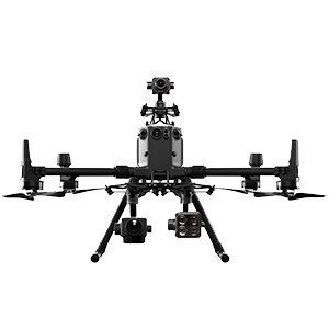
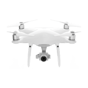
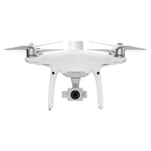
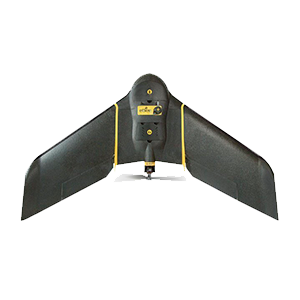
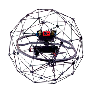
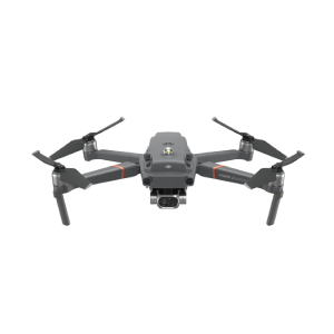
Fleet


If you have any questions, please do not hesitate to contact us.
We will be happy to assist you personally!